Arrad Foot Research Articles
Location
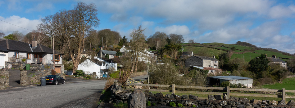
Arrad Foot is a rugged landscape of hills and valleys that face towards the coast. It borders with Penny Bridge to the east, Mansriggs / Broughton Beck to the north west and Plumpton to the south. Originally the land was used for farming and although this is still the case, there are a number of residential houses.
Research Articles
The Story of Arrad Foot
The area has been mainly used for farming but in the past, there have some interesting building developments, a unique sports event and some small homeworking businesses.
Contributions from Residents
Wright Greatorex and Margery Todd had personal interviews. The article about Brodie Kay is based on local knowledge.
| Person | Content |
|---|---|
| Wright Greatorex | Life at Arrad Foot Farm |
| Margery Todd | Life at the Racehorse Inn and Farming |
| Brodie Kay (1894-1969) | Extracts from his lifestory as an Engineer |
Photo Gallery
We have a range of historical and current photographs in the Photo Gallery. They are grouped into albums according to the source of the Photograph. Navigate to locate an album using the navigation menu at the top of the page, or click on specific links for the Arrad Foot galleries below.
| Title of Album | Purpose |
|---|---|
| Sankey Collection Arrad Foot | Historical photos taken by Sankey family |
| Residents Collection Arrad Foot | Personal photos; Illustrations and Maps |
| Carole Palmer Collection Arrad Foot | Photos of landscapes and buildings |
Maps
There are a number of maps showing various aspects of the Arrad Foot area. Click on Maps and Links and scroll down to find the map you would like to view.